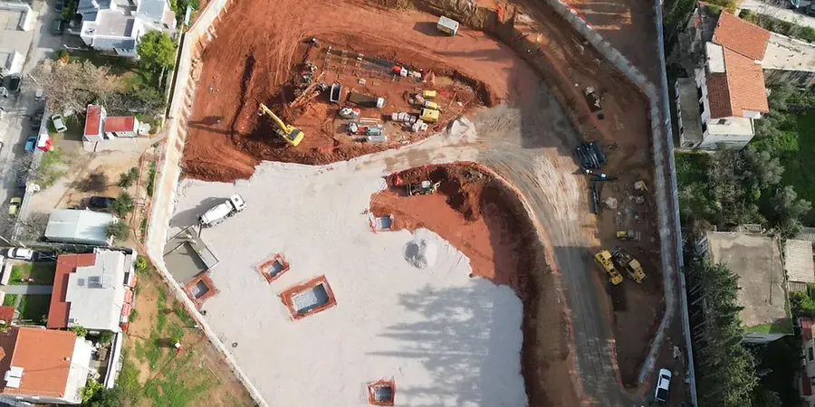
The National Building Code of Canada (NBCC 2020) sets strict requirements for deep excavation support, and in Laval, those requirements intersect with a unique geological profile. The city sits on Île Jésus, where the Rivière des Prairies and Rivière des Mille Îles have shaped a subsurface dominated by sensitive Champlain Sea clay. This marine clay, deposited over 10,000 years ago, can lose significant strength when disturbed. That is why geotechnical design here cannot rely on textbook assumptions. In our experience, a design that works in the Montreal bedrock core fails in Laval unless the clay sensitivity is properly characterized. We integrate site-specific parameters from in-situ permeability testing and advanced lab programs to predict deformation before the first bucket of soil is removed.
Designing a shoring wall in Laval means respecting the memory of the Champlain Sea. Get the clay sensitivity wrong, and the excavation becomes a liability.
Local considerations
The stiff, grey, silty clay found across most of Laval averages an undrained shear strength between 30 and 80 kPa in the upper 10 meters. That is not a weak soil on paper, but it is brittle. The risk of progressive failure in a temporary cut is real, especially if the excavation stays open through a wet spring. Groundwater recharge from the Rivière des Mille Îles can elevate pore pressures behind the shoring wall unexpectedly. A design based solely on drained parameters without considering the undrained short-term behavior risks base heave and wall deflection exceeding serviceability limits. We have seen projects where a 6-meter excavation moved laterally over 50 mm simply because the pre-construction dewatering was stopped too early. In Laval, the construction sequence is part of the design. You cannot separate the two.
Frequently asked questions
How does the Champlain Sea clay affect deep excavation design in Laval?
This clay is sensitive and can lose up to 80% of its undisturbed strength when remolded. Our designs use undrained shear strength parameters for short-term stability analysis and specify strict excavation and dewatering sequences to prevent disturbance and strength loss during construction.
What is the typical cost range for designing a deep excavation support system in Laval?
The geotechnical design package for a typical commercial or mixed-use excavation in Laval ranges from CA$2,570 to CA$12,770, depending on the complexity of the shoring system, the number of adjacent structures to protect, and the depth of the cut. A simple cantilever design for a 4-meter cut sits at the lower end, while a multi-level anchored wall with extensive instrumentation falls higher.
Which NBCC seismic site class applies to most Laval sites?
Most sites on the Champlain Sea clay deposits classify as Site D or E under NBCC 2020, based on shear wave velocity measurements and undrained shear strength profiles. This classification directly influences the seismic earth pressures we apply in the shoring wall design.
Can a deep excavation be designed without pre-construction soil borings?
No. The NBCC requires a geotechnical investigation for permanent and temporary works. In Laval, the variability in till depth and the presence of buried organic layers make borings and cone penetration tests essential to establish a reliable ground model for the excavation design.