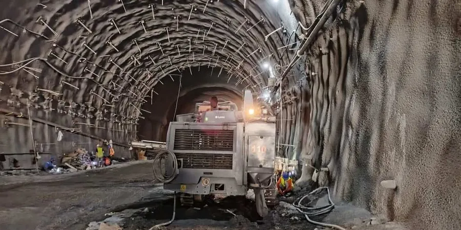
With over 440,000 residents and a construction boom reshaping the island, Laval's excavation projects face a unique challenge: dense urban spacing and sensitive clay deposits that demand millimeter-level precision. Our monitoring systems track lateral movement, pore pressure, and vibration continuously, giving the site team live data instead of after-the-fact reports. Whether the dig is next to a 1960s school on Boulevard des Laurentides or a new condo tower near the Rivière des Prairies, the instrumentation package adapts to the risk profile of the structure. For deeper cuts where soil behavior changes fast, we often pair the monitoring array with a CPT test to calibrate the stratigraphy against real-time deformation readings, ensuring the shoring design matches what the ground actually does under load.
Real-time deformation data turns a reactive dig into a controlled operation where threshold alerts trigger decisions, not emergencies.
Methodology and scope
Laval sits on a mix of Champlain Sea clays and till, which react dramatically to seasonal freeze-thaw cycles and spring runoff. A monitoring plan here has to account for stiff overconsolidated crust in summer turning into a water-sensitive paste after a single rain event. Our approach layers automated total stations with in-place inclinometers and vibrating-wire piezometers, capturing tilt, settlement, and pore pressure simultaneously. The data feeds into a cloud dashboard that flags threshold breaches within 60 seconds, not the usual 24 hours. This speed matters when a retaining wall on Autoroute 15 exhibits unexpected drift at 3 a.m. — the engineer can assess the trend, compare it against the baseline model, and issue a hold-or-proceed call without driving to the site. The system also logs temperature and vibration, which becomes critical when blasting or pile driving occurs within 50 meters of heritage masonry.
Frequently asked questions
How much does geotechnical excavation monitoring cost for a typical Laval project?
For a standard basement excavation with inclinometers, settlement points, and a piezometer, budgets in Laval generally fall between CA$1,200 and CA$3,760, depending on instrument quantity, monitoring duration, and reporting frequency. A fixed scope with automated alerts costs more upfront but often saves weeks of manual survey labor.
What triggers an alert, and who receives it?
Thresholds are set at 70%, 85%, and 95% of the design deformation or vibration limit. When a sensor crosses a threshold, the system sends an SMS and email to the superintendent, the geotechnical engineer, and the shoring designer simultaneously. The alert includes the sensor ID, measured value, rate of change, and a plot of the last 48 hours so the team can decide immediately.
Do you provide the monitoring report for the city and the contractor's insurance?
Yes. Every project receives a pre-construction baseline report, daily or weekly data summaries during excavation, and a final close-out report. The documentation package meets the requirements of Laval's urban planning department and is accepted by most liability insurers as proof of continuous monitoring.